Urbanrise Gattahalli Gallery
A gallery page on a project microsite usually carries elevations, interior renders, a master plan and a set of site photographs. None of those exist in public for this scheme. What this page carries instead is a set of our own indicative visualisations, captioned as such and taken from nothing the developer has issued, alongside exactly what is on the record for the Gattahalli scheme, what that record does and does not tell you about how the buildings will sit on the land, and how to read the visual material when it eventually appears. Abhee Bellary Road is useful when buyers are reading images for practical signals: light, approach, amenity scale, landscape maturity, and what still needs official confirmation.
Urbanrise Gattahalli is the working title used on this site; Urbanrise has not announced a marketing name for the development.
Nothing has been released for Urbanrise Gattahalli by its developer
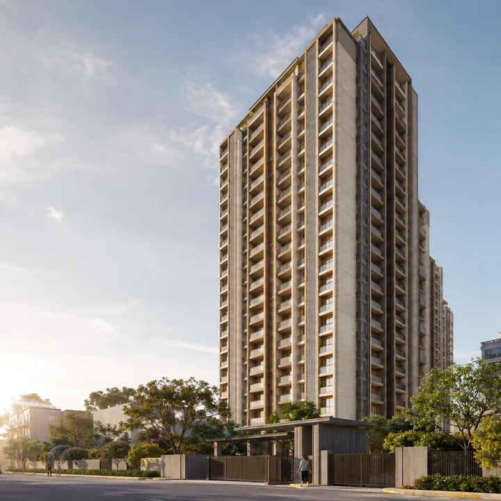
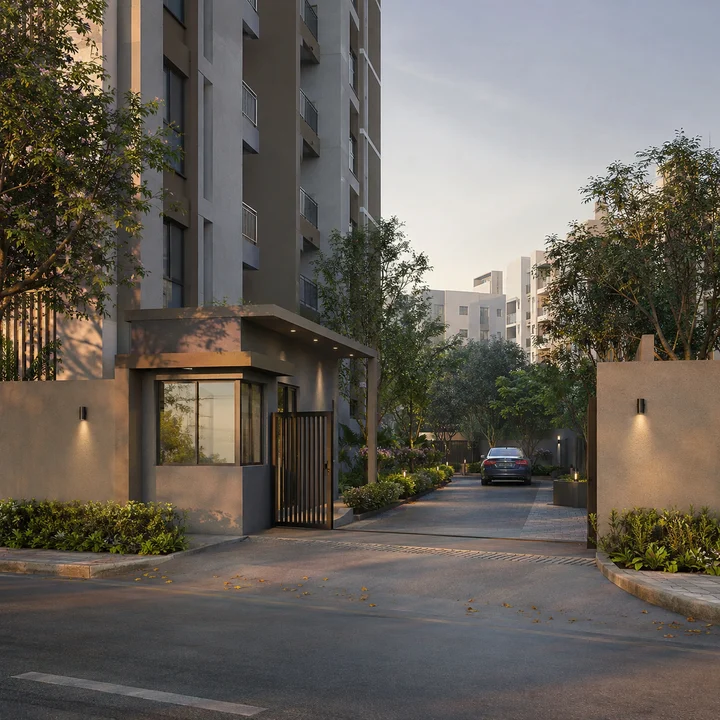
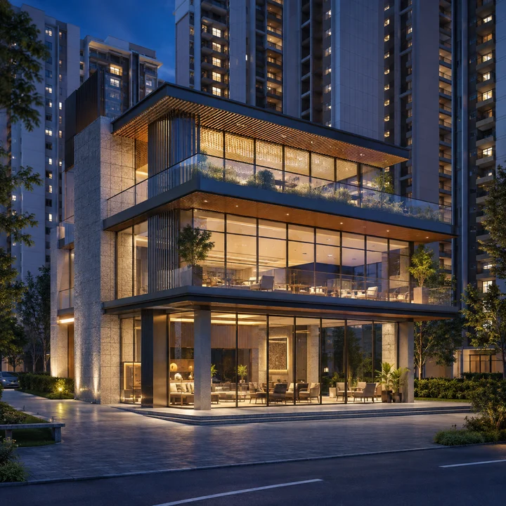
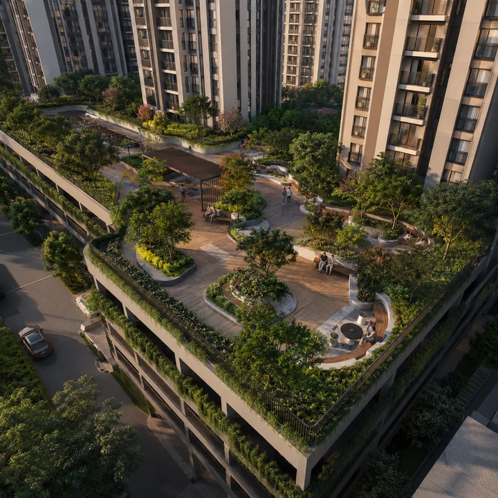
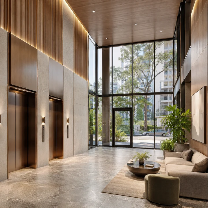
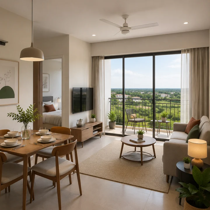
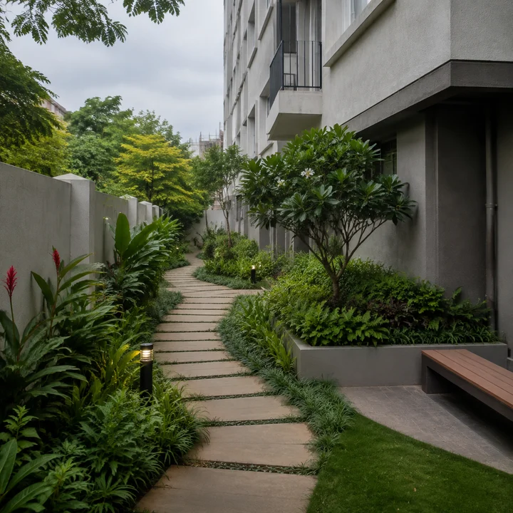
The project reaches us through a single public route: a fresh Environmental Clearance application lodged with the State Environment Impact Assessment Authority. The proposal is SIA/KA/INFRA2/583353/2026, activity 8(a) Building and Construction, Category B2, filed on 7 July 2026 and carried on the portal as under verification. The linked single-window references are SW/287832/2026 and CAF/273411/2026. The promoter of record is Alliance Grandeur Homes Private Limited, an Alliance Group and Urbanrise vehicle. The project is described on the file as Development of "Residential Apartment and Club House" Project.
That is an application, not a publication. Urbanrise's own Bengaluru project listing carries Ecospace at Electronic City Phase 2, Codename Gold Standard at Sarjapur Road, Kanakapura Road, Whitefield and Jigani Hobli, plus unnamed Jakkur and Hennur entries. No Gattahalli project appears on it. The developer has not put this scheme in front of the public, which is why there is no official render set, no elevation sheet and no brochure to show you.
| What the public record contains | What it does not contain |
|---|---|
| A survey number, village, hobli, taluk and district | Any render, elevation or interior visual |
| A land area and a total built-up area | A brochure or a published master plan |
| A unit count and a floor configuration | A tower count or a block layout |
| A boundary file uploaded by the promoter | Photographs of the land as it stands |
| A project cost of Rs 223.80 crore | A price, a launch date or a sales document |
One further caution belongs on a gallery page specifically. Urbanrise verifiably recycles campaign codenames across cities — "Codename Gold Standard" is a Chennai and Siruseri project that aggregators are already mis-attaching to Sarjapur Road. If you are shown images attached to a campaign name rather than to a location, check that they belong to this parcel and this city before you let them shape your judgement. An image is only evidence of the thing it was actually photographed or drawn for.
The one piece of geometry on file is a boundary, not a building
The single drawing-like object the promoter has lodged is a site-boundary file, named on the portal "alliance urbanrise project site final.kml". Its corners sit at 12.87059, 77.70020 and 12.87233, 77.70183, describing a box roughly 193 m across and 176 m deep. The centre of that box, 12.87146, 77.70101, is the pin we publish for the site — an estimate derived from the filed corners rather than a coordinate the promoter has stated.
It is worth being precise about what this boundary does and does not settle. A 4.20-acre parcel is 16,996 sq m. The box drawn by those corners encloses roughly 34,000 sq m — about twice the parcel area. That is not a contradiction. It means the plot does not fill its own bounding rectangle, which is what you would expect if the boundary runs at an angle to the compass or the parcel is irregular. The filed box tells you where the land is. It does not tell you what shape it is, and we are not going to guess a shape from a rectangle.
What the land at Sy. No. 50 looks like today
The address on the file is Sy. No. 50, Gattahalli Village, Sarjapura Hobli, Anekal Taluk, Bengaluru Urban District. Gattahalli and Ghattihalli are one village with two spellings, not two places; the structured village code on the same plot record resolves to Ghattihalli while the free text reads Gattahalli.
Beyond that, we will not describe the site. We have not inspected it, and the documents we have read record its identity, its extent and its programme without describing its present physical condition. We therefore publish no claim that the land is vacant, cleared, fenced, levelled or occupied. That is an admitted gap, and it is a more useful thing to give you than a confident sentence we cannot stand behind.
What can be said with certainty is procedural: no environmental clearance has been granted, the application is under verification, and there is no permission in existence under which building work could lawfully proceed.
Jurisdiction matters for anyone planning a site visit or a title check. A point-in-polygon test of the corrected centroid places the parcel outside the Greater Bengaluru Authority boundary, about 2.8 km east of its nearest edge, in the BMRDA planning region under Anekal jurisdiction. Expect panchayat khata and panchayat property tax rather than BBMP A-khata, and confirm the khata classification against this specific survey number before you commit to anything.
What the filed programme implies about massing at Urbanrise Gattahalli
The filing carries enough to reason about scale, and nothing at all about appearance.
| Filed figure | Value |
|---|---|
| Land | 1.6996 ha = 4.20 acres |
| Total built-up area | 79,634.39 sq m |
| Residential units | 368 |
| Residential floors | 2BF + GF + 18UF |
| Club house | 2BF + GF + 2UF |
| Project cost | Rs 223.80 crore |
Three pieces of arithmetic, each an estimate derived from the verified figures above, help set expectations.
Density. 368 homes divided by 4.20 acres is 87.6 homes per acre. That is dense by any Bengaluru measure, and it is the single most useful number on this page for imagining the place. High density on a small parcel means a tall, tightly grouped scheme with a compact ground plane, not a spread-out campus.
Bulk against land. 79,634.39 sq m of declared built-up area against 16,996 sq m of land is a ratio of about 4.7 to 1. Treat that as plain division, not as a planning figure: basement levels and certain service areas are normally excluded from a floor area ratio computation, so any FAR eventually granted will be a different and lower number.
Built-up per home. 79,634.39 sq m across 368 units averages about 216 sq m, or roughly 2,330 sq ft, per unit. This is emphatically not apartment size. It is total construction divided by homes, and it includes two basement levels, the club house, corridors, lobbies, stairs and services.
The filing records floors but no tower count, so we publish none. How the 368 homes are distributed across blocks, and how those blocks are placed on the parcel, is simply not on the record. A ground floor plus eighteen upper floors puts nineteen residential levels above grade, over two basement levels which on a site this size will almost certainly be doing the parking work.
The 2BF + GF + 2UF club house deserves its own mention. A dedicated multi-level amenity building, with its own basements, on a 4.20-acre parcel is a real commitment of footprint on land that is under pressure from the density figure above. That tension — 87.6 homes per acre alongside a substantial standalone clubhouse — is the most interesting thing the filing tells you about the design intent.
On height: the client brief puts maximum height at 56.45 m. That is the brief's figure, not a verified one, and we attribute it rather than assert it. As a sanity check, 56.45 m over nineteen levels above ground works out to about 2.97 m floor to floor, which is internally consistent. Consistency is not confirmation.
On unit sizes: the brief carries a table of 2 BHK at 1,100–1,250 sq ft and 3 BHK at 1,300–1,615 sq ft, and labels it tentative itself. Material in circulation therefore describes this range; the developer has specified nothing. Do not plan a floor layout around it.
The setting around Gattahalli, in road kilometres
Until photographs exist, the surroundings are the honest way to picture the place. Every figure below is road distance from the filed site centre.
| Destination | By road |
|---|---|
| Edenbridge International School | 1.55 km |
| Prakriya Green Wisdom School | 2.30 km |
| Bangalore Technological Institute | 2.34 km |
| Huskuru | 2.52 km |
| Huskur Lake | 2.67 km |
| Gattahalli Lake | 3.13 km |
| Punarjani Ayurvedic Multispeciality Hospital | 3.65 km |
| TCS Think Campus | 5.65 km |
| Wipro SEZ | 5.65 km |
| M5 ECity Mall | 6.36 km |
| Carmelaram railway station | 7.18 km |
| Delta Electronics Bommasandra metro station | 7.96 km |
| Electronic City | 8.24 km |
That is a village-edge setting inside the Sarjapur–Attibele belt, with schools and two lakes within about three kilometres by road, and the Electronic City employment mass five to eight kilometres out. The nearest operational metro station, Delta Electronics Bommasandra on the Yellow Line, is about 8 km away by road — a real running connection, and a drive rather than a walk. This is not a metro-adjacent site.
One approach detail belongs here because it will show up in any site photograph. The client brief states that access is direct from the 9 m Gattahalli Main Road. The exact width is the brief's claim rather than a verified figure, but the point stands and should not be quietly dropped: a nine-metre approach road serving 368 homes is narrow, and it is one of the first things to look at in any photograph or drone shot you are eventually shown.
What to expect at launch, and how to read it
When Urbanrise does publish material, it will arrive as a set, and the pieces carry very different weight.
A sanctioned plan is not an artist's impression
A sanctioned plan is a stamped drawing carrying a planning authority's endorsement. It fixes setbacks, footprints, heights and circulation, and it is the document any later deviation is measured against. No such drawing exists for this project yet. An artist's impression is something else entirely: a marketing illustration produced before or alongside that process. Ask which of the two you are being shown. If the answer is not immediate and specific, you are looking at marketing.
A render is not an elevation drawing
A render is a photorealistic image built to sell a feeling: warm light, mature trees, an empty road, a sky chosen for effect. An elevation drawing is a flat, dimensioned, orthographic face of the building — less attractive and far more informative. It shows real floor-to-floor heights, real balcony depths, real service shafts and the position of every window. Where both exist, the elevation is the one to keep.
Floor plates tell you more than interiors
Furnished interior visuals are staged with scaled-down furniture more often than buyers expect. A floor plate — the whole level, showing every unit, the lift core, the staircases and the corridor — tells you how many doors share a lobby, whether your living room faces another flat's kitchen, and how far the walk from the lift is. On a 368-home scheme at this density, the floor plate is the drawing that matters.
Check the area basis, and check where a photograph points
Any size quoted at launch should say whether it is carpet area as defined under the RERA Act, built-up area or super built-up area. The three describe the same flat and differ substantially; a number without a named basis is not comparable to anything. Site photographs need the same scepticism. Each one is shot from somewhere, pointing at something, and both choices are decisions. Ask what lies immediately outside the frame, and look for the approach road, the neighbouring land use and the boundary rather than only the horizon.
Artist's impressions are not contractual
This is the standing caution and it applies to every image this project will ever publish. Renders, walkthroughs, sample flats and landscape visuals are illustrative. They are not a specification, they are not a warranty, and they do not bind the developer to deliver what they show. Elevation treatments, façade materials, landscape planting, amenity fit-outs and interior finishes routinely change between marketing and handover. The documents that bind are the sanctioned plan, the registered agreement for sale and the specification schedule annexed to it. Read those; enjoy the renders.
The approvals position at Urbanrise Gattahalli, stated plainly
The environmental application was filed on 7 July 2026 and is under verification. No environmental clearance has been granted. The project is not registered with the Karnataka Real Estate Regulatory Authority, and no application appears in the registry.
Section 3 of the Real Estate (Regulation and Development) Act 2016 is unambiguous on what that means. A project in a registrable class may not lawfully be advertised, marketed, booked or sold until registration has been granted. This microsite is an information and enquiry resource covering a scheme still at the approvals stage. It is not a booking channel, and no image, plan or figure published here should be read as an offer.
What this page will carry when there is something to carry
We will add material here when it is published by Urbanrise or Alliance Grandeur Homes, or when it appears on a government portal — and we will say, for each item, which of those it came from. Until then, the honest gallery for Urbanrise Gattahalli is a survey number, a boundary box, a floor configuration and a unit count. That is less than a buyer wants. It is also all that presently exists.
Urbanrise Gattahalli Gallery — frequently asked questions
The site sits on the eastern flank of the Electronic City employment belt. Electronic City is 8.24 km by road, with TCS Think Campus and the Wipro SEZ both at 5.65 km, Infosys Foundation at Konappana Agrahara at 6.80 km, and Biocon at Hebbagodi at 9.59 km. Several of these carry heavy detour factors, Electronic City itself at about 1.88, which tells you the road network here is indirect rather than the distances being long. A commute in this belt is dominated by junction delay, not kilometres, so drive the route at your own working hours before you judge it. We publish the kilometres and decline to publish a single commute-time figure.
Three separate gates stand between the present state and a project that can lawfully be sold. The environmental application has to move from verification through appraisal to a decision by the State Environment Impact Assessment Authority. Building plans have to be sanctioned by the competent planning authority for this Anekal parcel. And the project has to be registered with K-RERA before it may be advertised, booked or sold. We deliberately publish no timetable for any of them, because none has been announced and construction-approval timelines in Karnataka are not predictable enough for an honest estimate. We re-read the portal record periodically and will update this page when the status changes.
The nearest facility in our routed set is Punarjani Ayurvedic Multispeciality Hospital at 3.65 km by road. Beyond that the options cluster between roughly 5.5 and 7 km: JJ Hospitals at 5.48 km, Vimalaya Hospital at 5.80 km, Blossom Hospital at 6.05 km, Sacred Oak at 6.16 km, and Apollo Cradle and Children's Hospital at 6.84 km. We list names and road distances and stop there. We do not publish bed counts, specialities or emergency capability, because the mapping records these come from do not carry that information reliably and we are not willing to guess about medical provision. For anything time-critical, satisfy yourself in person about what is actually staffed round the clock.
One thing is confirmed, and it is a real one: the filing records a club house built to 2 basements, ground and 2 upper floors. A dedicated multi-level amenity building on a 4.20-acre site is a genuine commitment of footprint, and on a dense scheme it is where the shared life of the project will actually happen. Beyond that, we publish nothing as fact. The amenity list circulating with this project is boilerplate, recognisably the same string used for an unrelated project elsewhere in the city with one line removed. The brief separately carries a block of servicing figures covering parking counts, electric-vehicle provisions, landscape areas and sewage treatment capacity; no document we have seen corroborates any of it, and we set those out with attribution on the master-plan page rather than repeat them here as specification.
Six things, in roughly this order. Confirm the K-RERA registration exists and read the registered details rather than the brochure. Check the current status of proposal SIA/KA/INFRA2/583353/2026 on PARIVESH yourself. Get the sanctioned plan from the competent planning authority for the Anekal area and check that unit count, floors and land extent match what you were told. Have an advocate run title and encumbrance on Sy. No. 50, Gattahalli Village. Confirm the khata classification on that survey number. And check that the entity on every document is Alliance Grandeur Homes Private Limited. Any gap between a brochure figure and a filed figure deserves a written explanation.
Enquire about Urbanrise Gattahalli
Urbanrise Gattahalli is at the stage where the useful thing is information rather than a booking, because there is no lawful booking to make. Leave your details and we will tell you when the position changes — when a Karnataka RERA number is issued, when the environmental file moves, and when the developer publishes a price, a floor plate and an amenity schedule. The enquiry form asks for a name, phone number, email address and message; name and phone are required.